

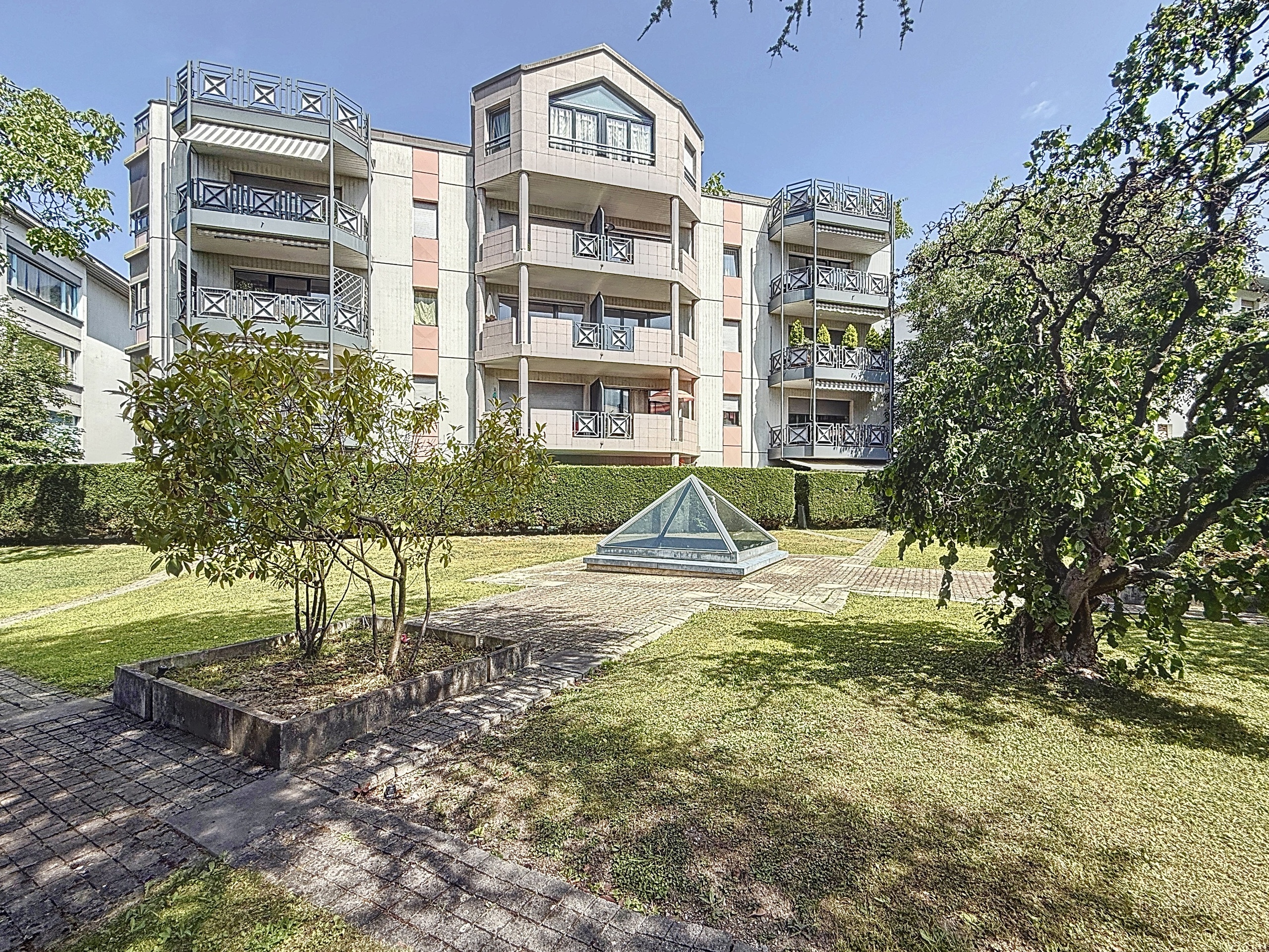
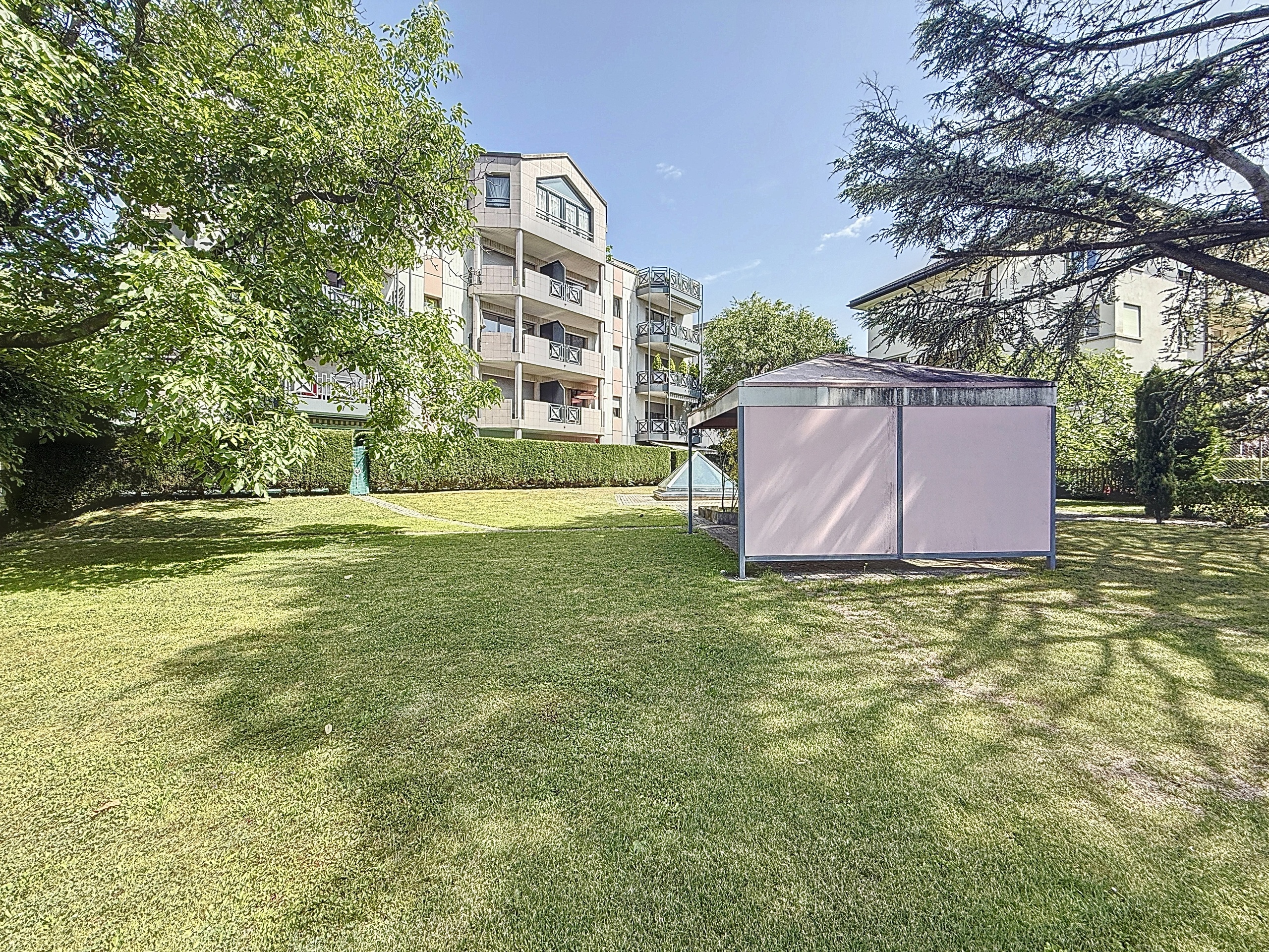
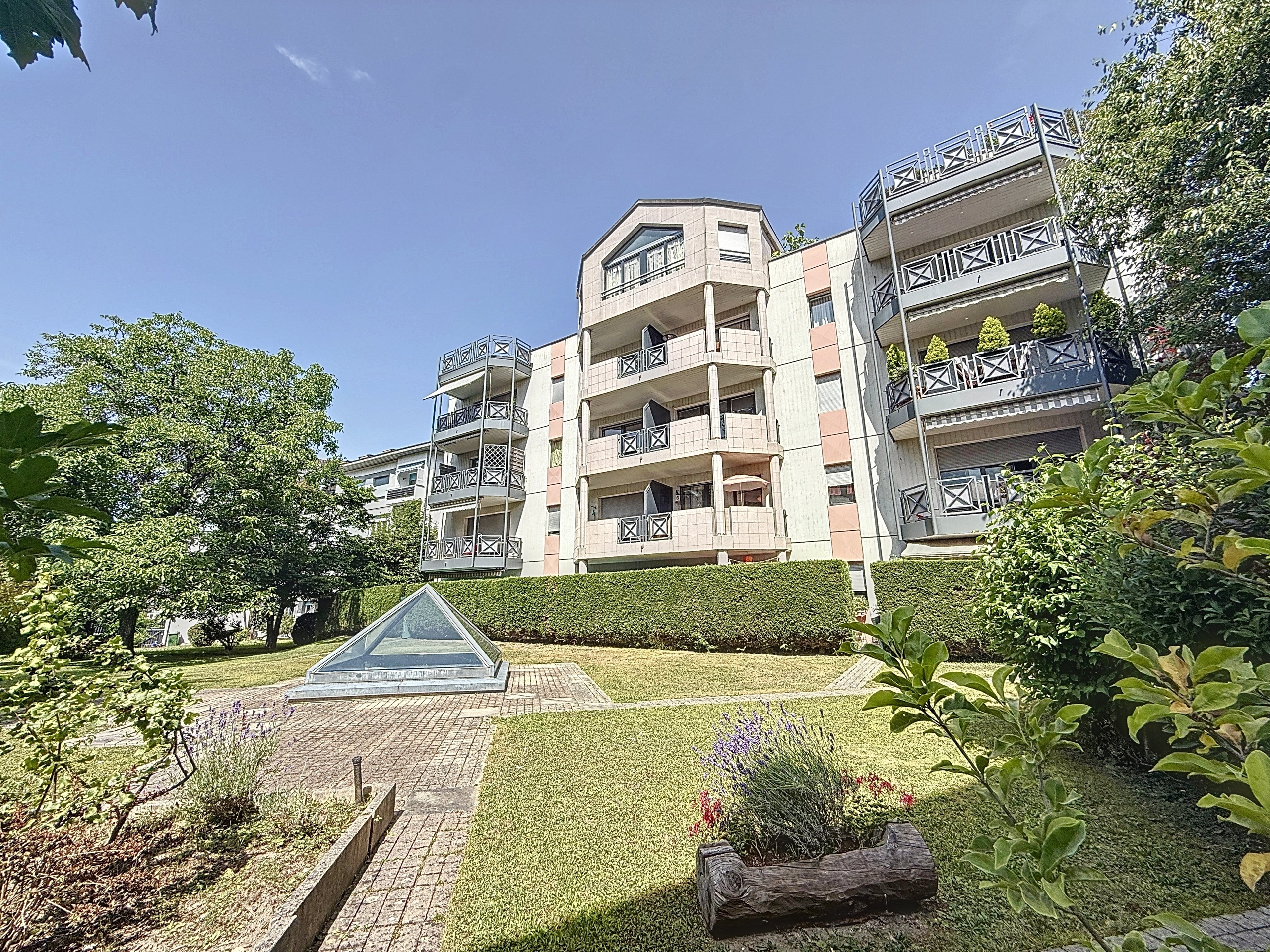
Conveniences
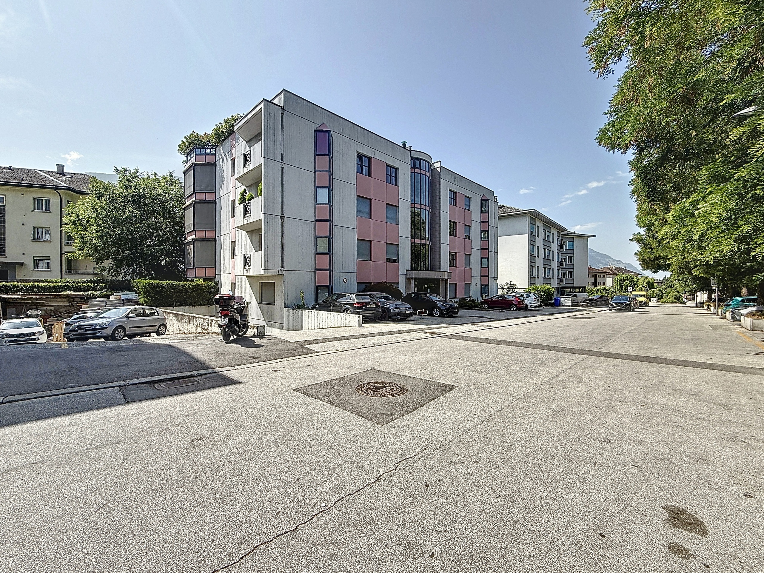
Neighbourhood
- City centre
- Shops/Stores
- Shopping street
- Bank
- Post office
- Restaurant(s)
- Pharmacy
- Railway station
- Bus stop
- Highway entrance/exit
- Child-friendly
- Playground
- Nursery
- Preschool
- Primary school
- Secondary school
- College / University
- Sports centre
- Horse riding area
- Public swimming pool
- Near a golf course
- Tennis centre
- Hiking trails
- Bike trail
- Theatre
- Hospital / Clinic
- Doctor
- Medical home
Outside conveniences
- Balcony/ies
- Garden in co-ownership
- Public parking
- Visitor parking space(s)
Inside conveniences
- Lift/elevator
- Underground car park
- Cellar
- Unfurnished
- Double glazing
- Bright/sunny
Equipment
- Fitted kitchen
- Washing machine
- Dryer
- Private laundry
- Bath
- Shower
Floor
- Tiles
- Parquet floor
Condition
- Good
Orientation
- South
Exposure
- Optimal
- All day
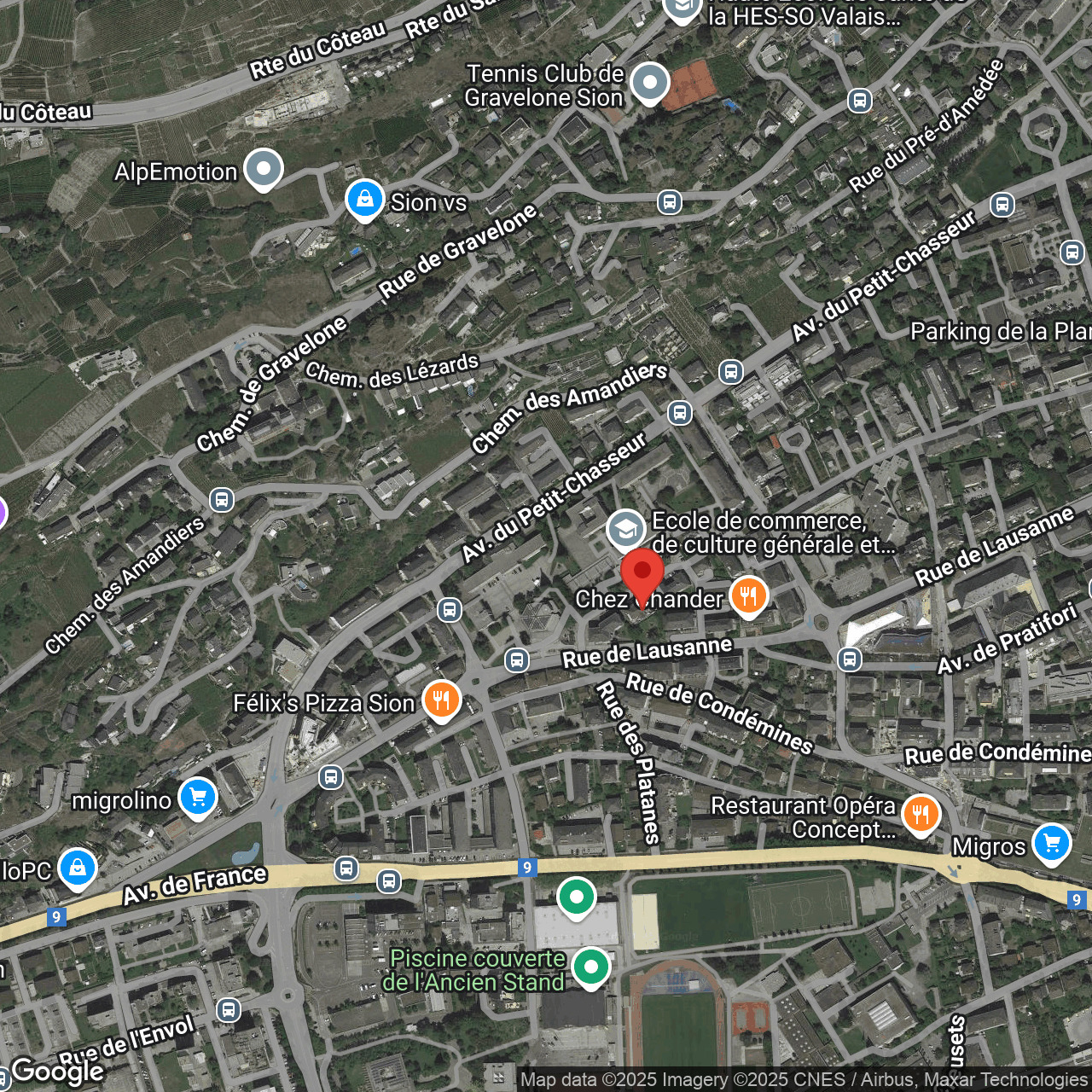
Distances
Station
747 m
13'
7'
5'
Public transports
68 m
2'
2'
1'
Freeway
1.05 km
25'
24'
4'
Nursery school
60 m
1'
1'
1'
Primary school
198 m
3'
3'
2'
Secondary school
476 m
9'
9'
3'
College / University
567 m
23'
23'
6'
Stores
469 m
8'
8'
3'
Post office
473 m
9'
9'
4'
Bank
490 m
8'
8'
4'
Hospital
473 m
9'
9'
4'
Restaurants
104 m
2'
2'
1'
Park / Green space
564 m
12'
7'
3'